
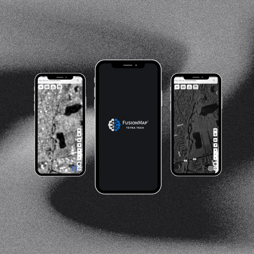
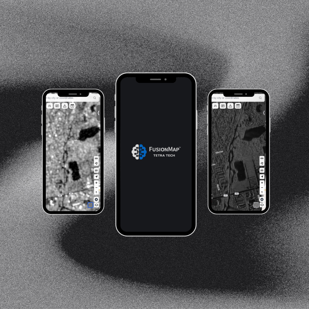
In an ever-changing world, the ability to respond swiftly and effectively to natural disasters is paramount. Lives, property, and entire communities often hang in the balance. That’s where FusionMap comes in—a revolutionary platform that harnesses the power of high-resolution Synthetic Aperture Radar (SAR) data to empower disaster management and first responders.
The Power of FusionMap: Unleashing the Potential of SAR Data
What is SAR Data?
Synthetic Aperture Radar (SAR) is a cutting-edge technology that uses radar signals to capture high-resolution images of the Earth’s surface, regardless of weather conditions or time of day. This data is a game-changer for disaster management, offering a level of precision and insight that was once unimaginable.
FusionMap’s Commitment to Excellence
FusionMap stands out as a beacon of excellence in the world of disaster management. They provide access to high-resolution SAR data from trusted commercial vendors, ensuring the reliability and accuracy of the information used by first responders.
Global Partnerships for Rapid Response
One of FusionMap’s most compelling features is its extensive network of global partnerships. When disaster strikes, time is of the essence, and FusionMap’s partnerships enable first responders to act quickly and decisively. With data from around the world at their fingertips, they can make informed decisions that save lives and protect communities.
How FusionMap Supports Disaster Management
1. Damage Assessment: FusionMap’s high-resolution SAR data allows for unparalleled damage assessment. First responders can quickly and accurately assess the extent of the damage caused by natural disasters, from earthquakes to hurricanes. This information is critical for allocating resources and prioritizing response efforts.
2. Rescue Coordination: FusionMap aids in the coordination of rescue efforts. By providing real-time data on the disaster’s impact, including the identification of areas with the greatest need for assistance, first responders can deploy resources efficiently, potentially reaching survivors faster.
3. Community Safety: At the heart of FusionMap’s mission is the safety of communities. By arming first responders with precise and up-to-date information, FusionMap helps minimize the impact of disasters on communities. This includes early warning systems and evacuation planning.
Choose FusionMap: Your Partner in Critical Situations
In times of crisis, having the right tools can make all the difference. FusionMap’s dedication to precision and excellence in disaster management support sets them apart as an invaluable asset for first responders and disaster management teams.
When lives are on the line, there’s no room for error. Choose FusionMap for precise and excellent support during critical situations. Together, we can build a safer, more resilient world. #DisasterManagement #FusionMap #FirstResponders #CommunitySafety
Visit FusionMap to learn more about their mission and how they’re making a difference in disaster response worldwide.