
In an increasingly unpredictable climate, the challenge of protecting linear infrastructure from water-related hazards is paramount. Roads, pipelines, and power lines are the lifelines of our communities, and their safety and integrity are non-negotiable. FusionMap has risen to this challenge, harnessing the power of satellite technology combined with AI-driven insights to offer a groundbreaking solution in water hazard monitoring.
The Rising Tide of Water-Related Hazards:
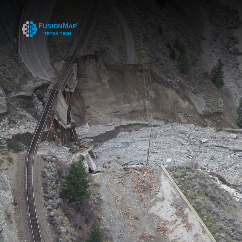
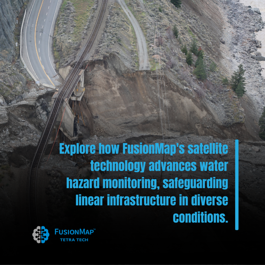
Water hazards pose a significant threat to linear infrastructure. Flooding, erosion, and unexpected changes in water bodies can lead to substantial damage, costly repairs, and even catastrophic failures. With climate change intensifying these risks, the need for advanced, proactive monitoring solutions has never been more urgent.
FusionMap’s Satellite Solution: A Game-Changer:
FusionMap’s approach to water hazard monitoring is a game-changer in the field of infrastructure protection. By leveraging high-resolution satellite imagery and advanced AI algorithms, FusionMap provides a comprehensive overview of water bodies and their dynamics.
Key Features:
- Advanced Detection: Our technology detects minute changes in water bodies, alerting to potential hazards before they escalate.
- Predictive Analysis: FusionMap’s AI algorithms analyze patterns and trends, offering predictive insights into flood risks and other water-related threats.
- Comprehensive Coverage: Satellite technology ensures wide-area monitoring, covering vast and remote regions with ease.
- Real-Time Updates: Stay informed with real-time data, enabling swift decision-making and response in critical situations.
Safeguarding Infrastructure
FusionMap has successfully aided in safeguarding various linear infrastructures across diverse geographic conditions. From monitoring riverbank erosion near key transportation routes to predicting flood zones around critical utility lines, our technology has proven invaluable in ensuring the safety and continuity of essential services.
Empowering Communities and Businesses
With FusionMap, communities and businesses gain a powerful ally in their efforts to protect infrastructure from water hazards. Our technology not only ensures the physical safety of these assets but also contributes to economic stability and community well-being.
Charting a Safe Course:
As we face the challenges of a changing climate, FusionMap stands at the forefront, offering a reliable and innovative solution for water hazard monitoring. Our commitment to leveraging satellite technology for the safety and resilience of linear infrastructure reflects our dedication to a future where technology and sustainability go hand in hand.
Explore the depths of what FusionMap can do for your infrastructure. Contact our team for more information on how we can help you navigate the waters of water hazard monitoring.