

In a world where data is king, FusionMap™ emerges as a cutting-edge web-based application, redefining the way we interact with geospatial information. With the ability to consolidate data from diverse sources into one unified platform, we’re breaking down the barriers to accessibility and collaboration. Our latest major upgrade introduces a game-changing 3D layer, designed to…
Category: Vegetation Management
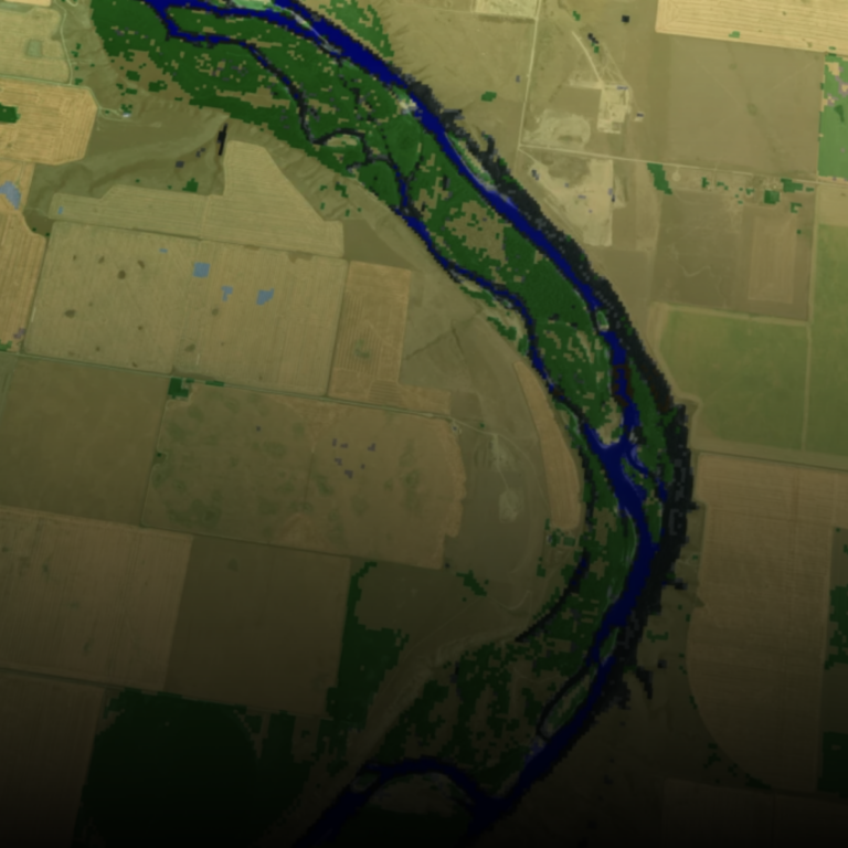
Geohazard Recognition and Mapping with FusionMap
FusionMap harnesses the strengths of LiDAR technology, capable of capturing high-resolution 3D data of terrain and vegetation cover, and combines it with AI technology for efficient and intelligent data processing and analysis.

“Unveiling the Power of FusionMap™: A Unified Platform for Privacy and Advanced AI Technology”
In today’s data-driven world, businesses and organizations face the challenge of integrating and managing diverse data sources efficiently. FusionMap™ emerges as the answer to this growing need, offering a cutting-edge web-based application that brings together data from various origins into a single, unified platform. With built-in support for multiple users, tenants, and administrative features, it’s…
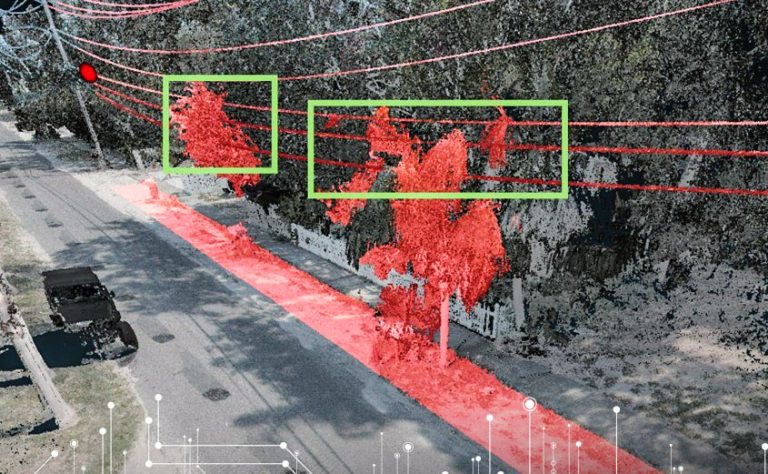
Vegetation Management and Power Utility Clearance Assessments with FusionMap
Vegetation encroachment poses significant risks to power utility infrastructure, including increased outage incidents and safety hazards. FusionMap empowers asset managers by offering advanced vegetation management capabilities: